
Points of interest
Yoho National Park
Yoho National Park is a land of discovery. Its towering peaks divide the continent, while historic rivers and railways carve it's landscape. Discover powerful waterfalls, emerald lakes, national heritage sites and a welcoming mountain community. Not sure where to start? Here are some highlights!
Yoho National Park boasts towering rock walls, spectacular waterfalls and 28 peaks over 3 000 metres in height.
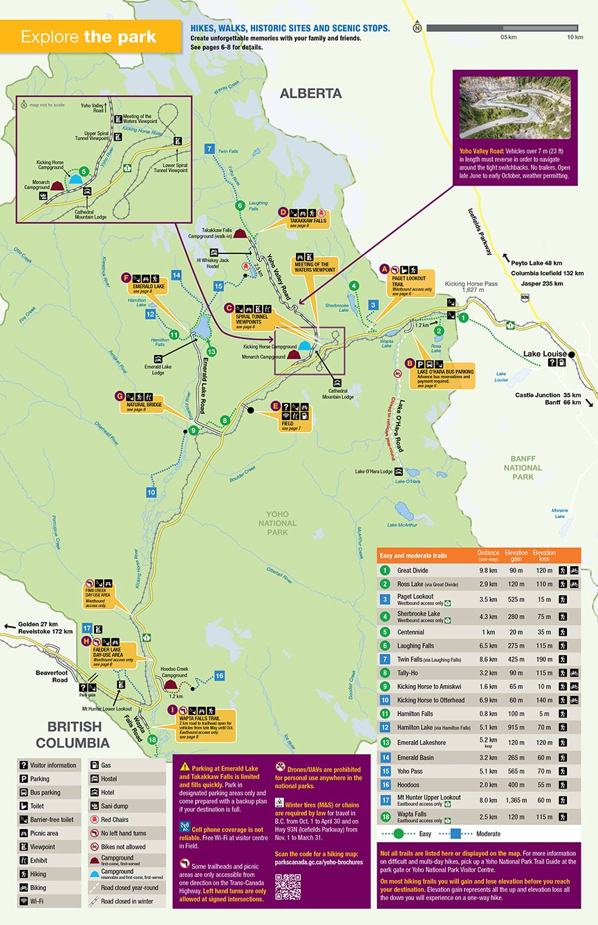
Map: Map of Yoho National Park
-
Village of Field
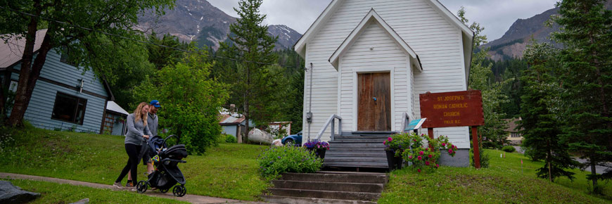
Take an afternoon walk and experience Field’s mountain hospitality. Stay in a unique guesthouse, pick out the perfect souvenir, or enjoy the culinary delights of this charming community. Established in the 1880s as a siding for the Canadian Pacific Railway, it is now home to almost all human residents of Yoho National Park and the Yoho Visitor Centre. A lovely town at any time of the year.
Services


-
Emerald Lake
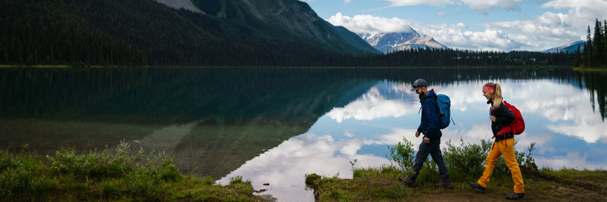
Admire incredible views of mountain peaks and wildflowers on an afternoon stroll around this gem-coloured lake.
Facilities and services


Lakeshore trail

Length: 5.2 km; Elevation gain: minimal
A gentle, lakeshore trail surrounded by mountain and glacier views. Includes a level, gravel path from the parking area to the bridge at the back of the lake. -
Natural Bridge
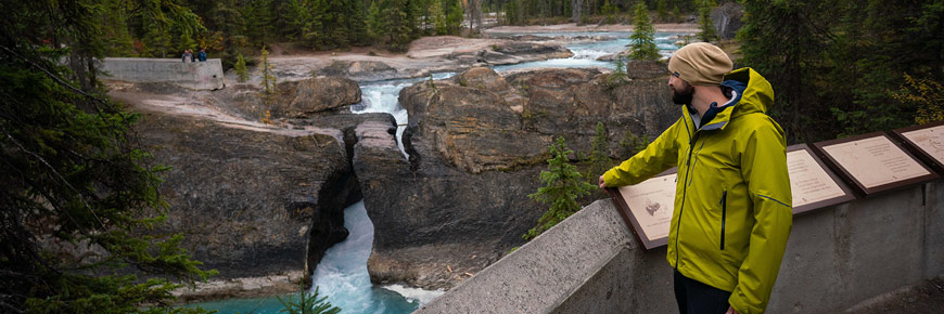
Marvel at the force of the Kicking Horse River as it cascades under a naturally formed stone bridge. This rambunctious river takes its name from a near-fatal kick that stunned James Hector while exploring the area in 1858.
Facilities


Kicking Horse River – A Canadian Heritage River
Follow this Canadian Heritage River from its source at Wapta Lake down to the expansive, braided gravel flats near the Village of Field and beyond to the Natural Bridge and Wapta Falls where doctor James Hector was kicked by his packhorse while travelling with the famed Palliser Expedition.
-
Takakkaw Falls
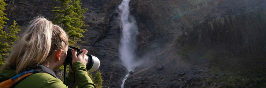
Enjoy a scenic drive on the Yoho Valley Road. Vehicles over 7 m (23 ft) in length must reverse in order to navigate around the tight switchbacks. Trailers are not permitted. The Yoho Valley Road is closed seasonally from mid-October through mid-June.
Cool off in the mist as you stand at the base of one of the highest waterfalls in Canada. Snap a selfie from the red chairs and share your adventure!
Facilities


Accommodations

Spend the night at the Takakkaw Falls front-country campground just 300 m from the parking lot.
Yoho Valley


Takakkaw Falls is only the beginning! Journey from here to Laughing Falls, Twin Falls, Yoho Pass, the Iceline, or the Little Yoho Valley.
There are four backcountry campgrounds in the Yoho Valley. Or stay at the Alpine Club of Canada's Stanley Mitchell Hut in the Little Yoho Valley.
-
Spiral Tunnels viewpoint
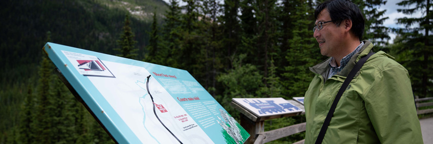
Watch trains snake through the Spiral Tunnels from the viewpoints on the Trans-Canada Highway or Yoho Valley Road. Discover how Yoho’s towering peaks and steep hills inspired the stories of the Kicking Horse Pass National Historic Site.
Facilities


Kicking Horse Pass National Historic Site
A steep, narrow pass shepherds the Trans-Canada Highway and the Canadian Pacific Railway across the Continental Divide. The audacious route was chosen in the 1870s for its proximity to the U.S. border and the Pacific Ocean. It brought B.C. into Confederation and connected Canada with Pacific ports when the nation was new.
-
Wapta Falls
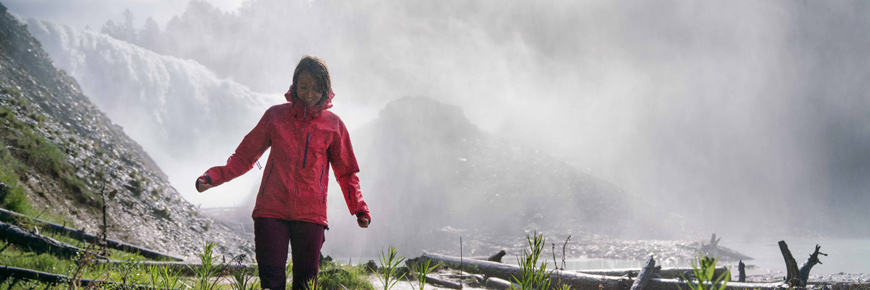
At 30 metres high and 150 metres wide, this is the largest waterfall on the Kicking Horse River. Take a gentle hike through verdant forests to a stunning viewpoint.
Facilities

Wapta Falls Trail


Length: 4.6 km; Elevation gain: 30 m
The 2 km vehicle access road to Wapta Falls parking lot is closed from late October to late May.
The trailhead is not marked for westbound traffic as there is no left turn lane here. Continue west for another 5.5 km out of the park boundary, turn right at the Beaverfoot Road, and come back on Highway 1 east. -
Burgess Shale fossil guided hikes
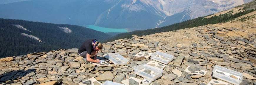
Meet your ancient ancestors and hold a piece of the earth’s history in your hands on a guided hike to Walcott Quarry or the Mount Stephen trilobite bed restricted fossil sites.
For more information: Burgess Shale fossil guided hikes
-
Species at risk guided hikes
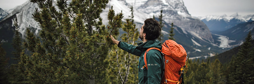
Hike to the Paget Fire Lookout as your guide tells the story of whitebark pine, a species at risk. Discover the story characters and their surprising connections, from grizzly bears to fungi. Walk among endangered pine trees and take part in research to help them survive.
For more information: Guided conservation hikes
- Date modified :

