
Landscape
Wapusk National Park
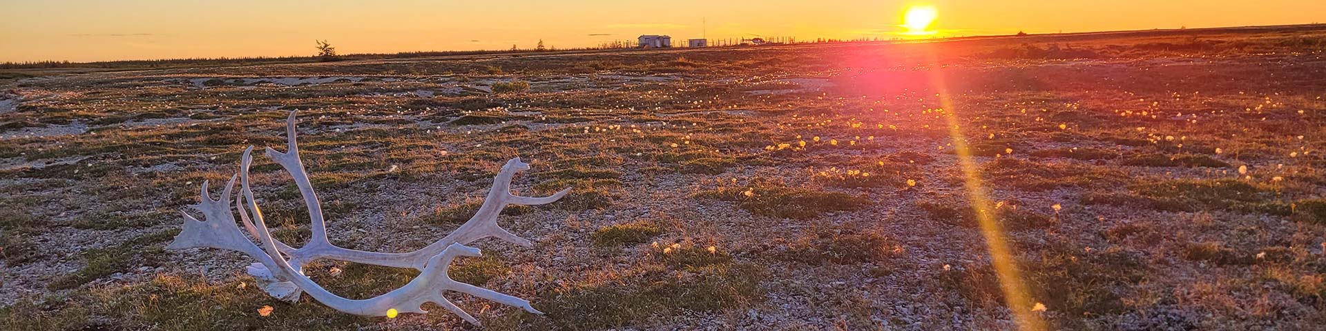
Wapusk National Park covers 11,475 square kilometres in the area of the Hudson James Lowlands, a vast, low-lying plain on the western shores of Hudson Bay. Continuous permafrost (permanently frozen ground) underlies this subarctic region and is topped by North America’s most extensive mantle of peat. Water in the form of lakes, bogs, fens, streams and rivers cover half of the land’s surface.
Wapusk National Park’s location, in the transition zone between boreal forest and arctic tundra, results in a diverse range of habitats. The coastal area is marked by salt marshes, dunes, beaches and an extensive intertidal zone that spans up to 10 kilometres between low and high tide marks. West of this coastal area are the wide open spaces of the tundra made up of ancient beach ridges, sedge meadows, peatlands and tundra ponds. In the southwestern portion of the park, a patchy landscape of weather worn spruce, tamarack and willow make up the northern taiga forests.
Geologically, this is a young landscape. It has been slowly rising at a rate of up to one metre every century since the last continental glaciers melted approximately 9,000 years ago. You can see visible evidence of this phenomenon, called isostatic rebound, in the ancient beach ridges that parallel the coast of Hudson Bay as far as 100 kilometres inland!
Related links
- Date modified :