
Environment
Sable Island National Park Reserve
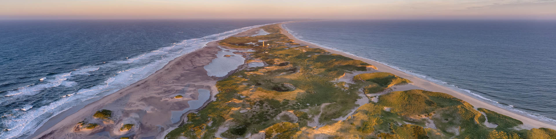
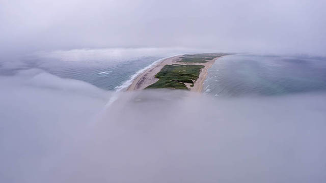
Sable Island is a crescent-shaped island located on the edge of the continental shelf in the northern Atlantic. It is approximately 290 kilometers from Halifax, Nova Scotia, at 44°N, 60°W.
This vegetated sandbar is approximately 42 kilometers long and measures only 1.3 kilometers at its widest point. At approximately 3,400 ha, the island is approximately seven times larger than McNabs Island in Halifax Harbour.
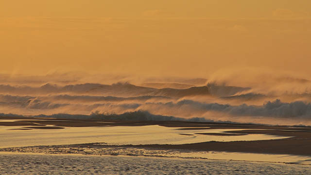
Fog, temperature, precipitation, wind, and storms.
Temperature, precipitation, sea levels, and weather events.
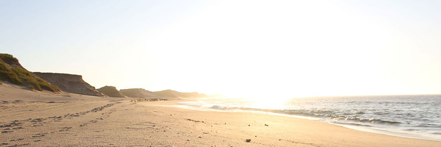
Beaches, dunes, and sand spits
The island is flanked on the north and south by two long parallel beaches separated by a mature dune system. The interior topography is characterized by low rolling dunes with a number of freshwater ponds, especially in the west. Both the eastern and western tips are 2-6 km long flat expanses of sand known as the East and West Spits. In the centre of the island, and running for approximately two thirds of the total length of the island, is a series of high dunes which is one of Eastern Canada's largest dune systems.
Freshwater lens
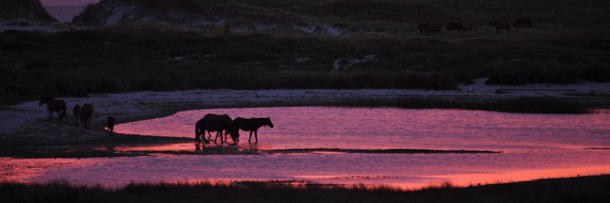
A freshwater lens, maintained by precipitation, underlies Sable Island and surface exposures of this lens form the island’s freshwater ponds. The freshwater lens floats on top of the salt water due to the difference in specific gravity. The ponds provide habitat for unique plant and animal communities and fresh water for the island’s inhabitants. Potential saltwater contamination of the ponds is considered a major threat, particularly if dunes erode or if the rate of consumption becomes greater than the ponds’ capacity to recharge.
Related links
- Date modified :