
Geography and Geology
Tuktut Nogait National Park

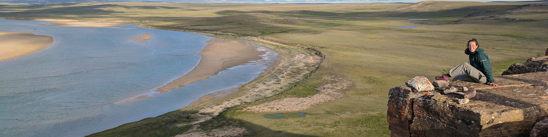
© Parks Canada / Christian Bucher
The north and central area of the park is mainly sedimentary rock composed of marine strata. The oldest strata are composed of shale, or siltstone, which are overlain by dolomites, poorly bedded sandstone and quartzite, and massive buff dolomite. These units outcrop along the shoreline of Amundsen Gulf and in the Melville Hills. South of the Little Hornaday River and west of the Hornaday River, sandstone, shale, siltstone and mudstone predominate.
Cryosols (soil that occurs where permanently frozen material exists within 1 to 2 m of the surface) are the dominant soils. They are underlain by continuous permafrost with active layers that are usually moist throughout the summer.
The park is drained by three main rivers: the Hornaday, Brock and Roscoe. All three follow the northwest slope of the land, flowing from interior areas to Amundsen Gulf. Where they leave the uplands, the three rivers have carved deep and precipitous canyons. The largest river is the Hornaday, which is 360 km long and has a drainage basin of 14,900 km². Peak flow is usually during the first week of June, when water levels rise dramatically. A few large lakes are found along the eastern park boundary, with smaller lakes found in the valleys of the main rivers and northern part of the park. Few lakes are present in the central Melville Hills.
Related links
- Date modified :