
Monitoring the river
Tuktut Nogait National Park
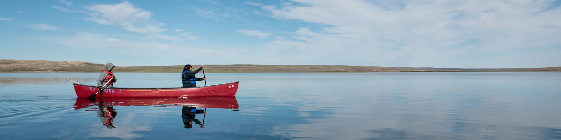
River monitoring trips provide the opportunity to travel through the park by canoe and approach sites on foot, allowing for the collection of data with the lowest possible impact to flora and fauna. This lets us see and move in a similar way to how Inuvialuit would have in the past so we can better understand the archeological sites and their position in the landscape.
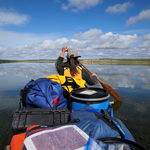
Parks Canada biologists with support of community members paddle north, along a 160 km stretch of the Hornaday River to Uyarsivik Lake. Along the way, they monitor the health of the river by collecting water samples and environmental information such as the river’s pH, turbidity, and the presence of contaminants. They also monitor the health of the tundra by checking raptor nesting sites and examining vegetation in different ecosystems. Cultural resources and known archaeological sites (such as tent rings or caches) are visited to assess their condition.
The Hornaday River monitoring trip takes about 2 weeks (9-14 days depending on weather) and occurs twice over a three-year period.

A Paulatuk community member usually joins Parks Canada staff as a research assistant for monitoring trips in Tuktut Nogait National Park. This provides the community member with a paid opportunity to be on the landscape, canoe the Hornaday River, and experience the work associated with data collection in the field. It also provides Parks Canada an opportunity to learn from the experiences and knowledge of the community member. It encourages an exchange of knowledge and familiarity with the land, different ways of knowing and sharing, and provides an opportunity to connect with the land.
Related links
- Date modified :