
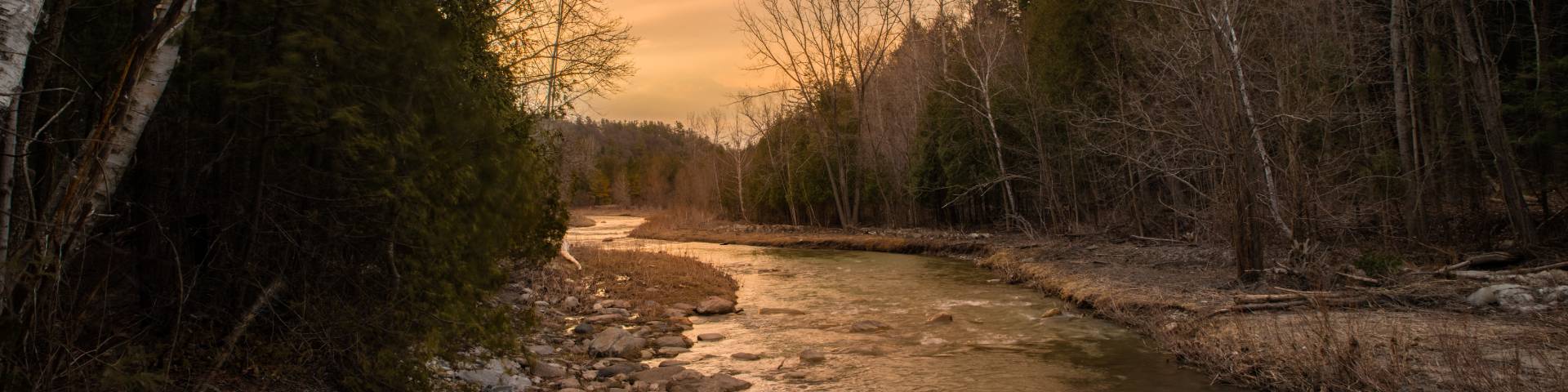
Twyn Rivers Day Use Area
Rouge National Urban Park
Twyn Rivers Trail Extensions and Crossings
The Twyn Rivers Day Use Area has undergone infrastructure improvements to ensure visitor safety and accessibility, and to provide Canadians with a high-quality experience in Canada’s first national urban park. Visitors can now enjoy an experience that includes:
- Significant improvements to existing trails and a new accessible trail section, all merging at this location;
- Two new pedestrian bridges over the Little Rouge Creek;
- A renewed and expanded parking area with 83 vehicle parking spaces;
- An enhanced recreation and day use area with a larger greenspace, gardens, accessible furnishings and solar lights;
- A year-round accessible washroom facility.
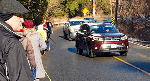
Visitor safety is a top priority for Parks Canada. The renewal of this site will guide visitors through various trails to a single crosswalk on Twyn Rivers Drive, greatly reducing the number of on-road pedestrians. In collaboration with the City of Toronto, a controlled pedestrian crosswalk light will be installed for even greater safety.
Ecological integrity is a priority for Parks Canada. With input from Rouge National Urban Park First Nations Advisory Circle members, the Twyn Rivers Day Use Area parking lot has been reoriented to create a greater natural buffer between the parking area and Little Rouge Creek. The area also features a “bioswale garden,” which trap toxins and prevents them from flowing into the creek. Newly planted native trees and shrubs, alongside existing mature trees, will provide shade and habitat around the parking lot.
Preserving cultural heritage is a part of Parks Canada’s mandate. As such, the below-ground foundations of the historic Rouge Valley Inn, dating back to the early 1900s, have been preserved, and a portion of the inn’s former dam has been repurposed and incorporated into the design. Visitors can view the heritage structure at the base of fencing near the creek.
Through infrastructure investments like this, the Government of Canada is helping visitors foster meaningful connections with nature in Rouge National Urban Park, while protecting biodiversity for future generations.
More information

Enlarge image (PDF, 1.15 Mb) **Proposed layout is for conceptual purposes only and is subject to change
Beginning at the parking lot on Twyn Rivers Drive, the route will cross the Little Rouge River with a new pedestrian bridge to the south to meet Mast Trail, which heads south through the forest toward the Glen Rouge Campground on Kingston Road.
To connect to the Orchard and Vista Trails, the proposed route will cross Twyn Rivers Road with a signaled crosswalk to meet the existing Celebration Forest Trail. At the edge of the Celebration Forest loop, the route turns west through a forested area following along the edge of a steep slope to the north. The route continues through the forest before ending at the existing Orchard Trail.
At this intersection, the route will have the option for trail users to head north toward Beare Wetland and Zoo Road, or south toward Little Rouge River. To connect to the Vista Trail, the route heads south on Orchard Trail through a stand of large cedar trees. Passing through the cedar stand, the route continues through the forest before coming up on the north bank of the Little Rouge River.
At this point, the route will cross the river near the existing Maxwell’s Bridge via a second new pedestrian bridge to the south bank, before the route connects with the Vista Trail.

Key features of this project will include:
- New signaled pedestrian crosswalk near current parking lot entrance connecting to the Celebration Forest Trail and the new trail extension
- New, safe pedestrian bridge crossing the Little Rouge River from Twyn Rivers parking lot to Mast Trail
- New pedestrian bridge crossing the Little Rouge River west of Maxwell's Bridge, connecting Orchard Trail to Vista Trail
- New permanent washrooms at Twyn Rivers Trailhead
- New larger restored parking area at Twyn Rivers Trailhead
- Trail extension that eliminates dangerous trail sections and crossings on Twyn Rivers Road
- The closure and restoration of existing unofficial trails that terminate at dangerous Twyn Rivers Road Crossings

Enlarge image (PDF, 3.09 Mb) **Proposed layout is for conceptual purposes only and is subject to change
Twyn Rivers Site Plan
- The updated site plan reflects feedback and comments received from key stakeholders and the general public regarding safety, the visitor experience and conservation gains.
- The parking lot was reoriented to create a greater naturalised buffer between the parking area and the Little Rouge Creek to reduce possible runoff and ecological impact. This reorientation will enhance the visitor experience and create a larger picnic and day use area.
- The new parking orientation allows for 83 spaces with a separate entrance and exit for better vehicle and pedestrian flow.
- 2 new permanent, barrier-free and universal washrooms will be located in the northeast corner. This is the only location that remains outside of the flood zone.
- New accessible viewing platforms and a pedestrian bridge connecting to the Mast Trail will provide views of the Little Rouge Creek and easy and direct access to the Mast Trail.
- Older, mature trees in the area will be retained, providing shade, while historic foundations below ground dating back to the former Rouge Valley Inn will be preserved.
- The Proposed controlled crosswalk will provide a safe crossing of Twyn Rivers Drive, accessing Celebration Forest and a new proposed trail extension connecting hikers to Orchard and Vista Trails.
- Date modified :