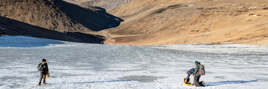
Photo: Dorota Medrzycka
Glacier melt study at Tanquary Fiord, led by Dr. Luke Copland (University of Ottawa)
Quttinirpaaq National Park
This study aimed at measuring the area, thickness and surface elevation of Bowman Glacier, near Tanquary Field Camp. It aimed at determining how much ice the glacier contains and how much longer it is likely to survive as a water supply for the camp. Dr. Luke Copland reported the following preliminary findings from that study: “The glacier has dramatically reduced in area by 74% over the past 59 years, reducing from 2.7 km2 in 1959 to 0.7 km2 in 2018.” The management implications of this finding for the park’s camp operations are currently being considered by Parks Canada and the park’s Joint Inuit-Government Park Management Committee.
Methods
The thickness of the glacier was measured with a radar system and satellite images were analysed to determine how the glacier has changed in areas over time. Aerial photography was used to produce an elevation model of the glacier’s drainage basin, to better understand current water sources and flow paths.
Discussion and results
The glacier is thin, with the thickest ice being only ~45 m deep. The glacier has dramatically reduced in area by 74% over the past 59 years, reducing from 2.7 km2 in 1959 to 0.7 km2 in 2018. The glacier no longer feeds May Creek, having retreated from this drainage basin around 2005. Today snow melt and groundwater flow provides all of the water flow for the creek.
Research partners
Principal researcher: Dr. Luke Copland, University of Ottawa
Field research team:
Dorota Medrzycka, PhD student, University of Ottawa
Braden Smeda, MSc student, University of Ottawa
For more information Dr. Luke Copland’s research, visit the Laboratory for Cryospheric Research website.
The recently released Integrated Regional Impact Study (IRIS) on the Eastern Arctic includes a chapter on the state of freshwater and glacier environments in that region. The report includes information on the studies conducted by the team mentioned above.
- Date modified :