
Lower Brewers
Rideau Canal National Historic Site
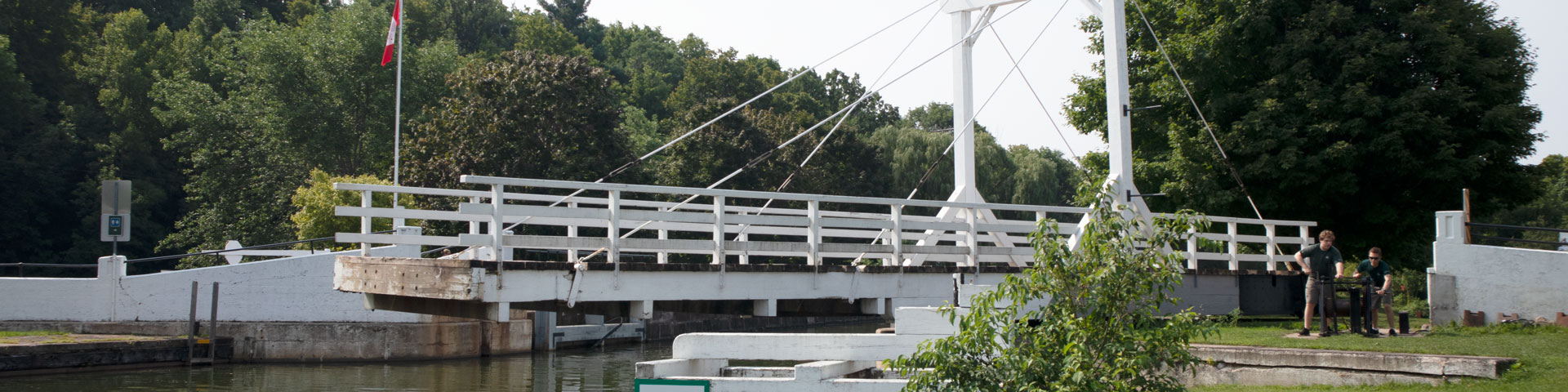
Lower Brewers is a peaceful lockstation with a wooden swing bridge. An attraction for those passing through in September and October is the fall foliage visible for boaters entering the widened section of the Cataraqui River. There are limited power spots on the downstream side.
How to get here
Lower Brewers
1419 Washburn Road
Kingston, Ontario
GPS: 44°23'21"N 76°19'30"W
Phone
613-876-0305
Email
rideau@pc.gc.ca
Navigational data
- Distance from Ottawa: 179.3 km (111.4 mi)
- Distance from Kingston: 22.8 km (14.2 mi)
- Nautical chart: #1513 (Sheet 4)
- Lock length: 40.8 m (134ft)
- Lock width: 9.7 m (33 ft)
- Average lift: 4.0 (13.1)
Facilities and services
- Overnight mooring (2 nights max)
- Camping
- Washrooms
- Barbecue grills
- Potable water
- Shore power
- Picnic tables
- Parking
History
An existing sawmill was bypassed with a canal cut, allowing it to continue operating. However, the operator of the mill, a Mr. McLean, kept flooding the works. After receiving complaints about this from Clowes, the contractor, Colonel By ordered guards to be posted to prevent McLean doing any more flooding.
Similar to most of the southern lock stations, seasonal malaria, which first appeared in Rideau work camps in 1828, and repeated each summer in the southern Rideau, hampered the construction with workers abandoning the site until the fall.
Read more history about this lockstationGoogle Street View
Related links
- Ottawa Locks
- Hartwells
- Hogs Back
- Black Rapids
- Long Island
- Burritts Rapids
- Lower Nicholsons
- Upper Nicholsons
- Clowes
- Merrickville
- Edmonds
- Old Slys
- Smiths Falls Combined
- Smiths Falls Detached
- Poonamalie
- Lower Beveridges
- Upper Beveridges
- Colonel By Island
- Narrows
- Newboro
- Chaffeys
- Davis
- Jones Falls
- Brass Point Bridge
- Upper Brewers
- Kingston Mills
- Date modified :